
Search Minnetonka Streets by Address
A Minnetonka street search works best as a chain of address-keyed records, not as a list of people. Start with a delivery address, then preserve the parcel identifier and legal description that Hennepin County returns. Those keys can connect a street address to the parcel map, recorded instruments, city files, and historic material. An owner or taxpayer field is useful, but it is not a promise that the named party currently lives at the situs address. Likewise, a directory line is a dated listing, and a registration check is an individual confirmation. Each source answers a narrower question.
- Confirm the delivery form through USPS ZIP Code Lookup. Save the returned postal city, ZIP and unit form. USPS says a ZIP result does not confirm a person or company.
- Enter the house number and street in Hennepin PINS. If it fails, place the direction at the end of the street name, then try the PID or addition, lot and block path.
- Record the PID, situs address, owner or taxpayer label, taxpayer mailing address, legal description, classification, sales information and recent-recording links from the parcel card.
- Open the Hennepin Property Map, turn on the current parcel and section layers, click the relevant polygon, and note adjacent PIDs. Compare historic layers when the street has older subdivision lines.
- Use the PID and legal description in RecordEASE Public Search. The grantor, grantee, instrument number and reception date provide a recorded land trail.
- Search the Minnetonka archive by street, house number, date range and permit category. A permit or inspection can date a project, but its applicant is not necessarily an occupant.
- Use library address searches or the lawful voter-list route only after the parcel record is clear. These are supporting snapshots, not a substitute for the address chain.
For a full Minnetonka street directory review, keep one row per parcel and include the search date. That makes it possible to compare results without turning a tax record, map result or historic directory entry into a claim about a current household.
Prepare a Minnetonka Street Search
Use the street name that the delivery address supplies before shortening or expanding it. PINS accepts common road abbreviations and normalizes them, but its search tips also call for direction tokens at the end of a street name. For county roads, the documented form is Co Rd No 101; for a state route it is State Hwy No 7. A unit is optional in the address form, but it matters when the address identifies a unit within a larger parcel. PINS updates its database on weekdays at about 9:15 p.m. Central, so a very recent filing may not appear at once.
The county's PINS search tips show the address and PID conventions used for this Minnetonka street directory work.
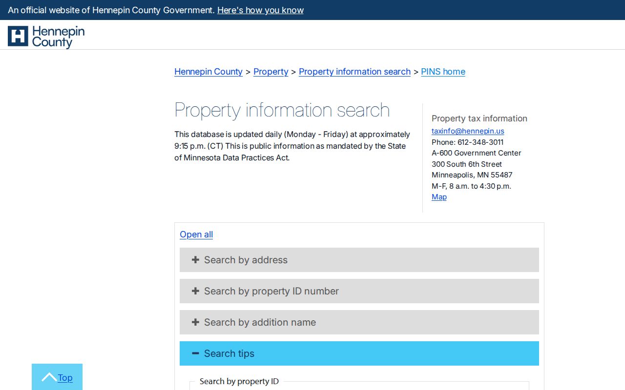
When an address does not match, retain the failed spelling in the notes, then test the direction placement, PID punctuation, and addition name rather than guessing that the parcel is absent.
PINS Fields for a Minnetonka Street
Hennepin PINS offers three practical ways to reach a Minnetonka street record: the address form, a property ID, and an addition search. The address form does not include a ZIP field. The PID is a 13-digit identifier, and spaces or dashes can be omitted. Addition searches require at least three characters in the addition name, with lot and block available as optional refinements. The choices below reflect the inspected controls, so they are more reliable than attempting a broad street-name-only search.
| PINS route | Fields | Required or optional | Minnetonka street use |
|---|---|---|---|
| Address | House number, street name, unit, records per page | House number and street required; unit optional | Starts a single-address parcel search. |
| PID | 13-digit property ID | Required; punctuation may be omitted | Reconnects a map polygon or saved parcel card. |
| Addition | Addition name, lot, block, records per page | Addition required; lot and block optional | Bridges a plat or older subdivision reference. |
| Map | Interactive property map | Separate search route | Locates a parcel when the street form is uncertain. |
The Minnetonka assessing office also offers address or PIN lookup with city valuation and classification context. It is a useful cross-check, while Hennepin remains the primary tax and title gateway.
Note: PINS address mode has no ZIP field, so preserve postal verification separately from the county parcel result.
Read a Minnetonka Parcel Card
A parcel card separates several facts that are often mistakenly collapsed into one address. Its situs is the physical property location and is the key for permits and the map. The taxpayer mailing address is where county correspondence goes, which can be an estate, trust, business or out-of-area contact. A legal description identifies land through its addition or plat, lot and block, or other recorded language. The PID is the cross-system key for assessment, tax, GIS and land-title research. Record each field as displayed.
- Parcel
- A defined piece of land in the county system, identified by a PID and shown as a polygon on the property map.
- Situs address
- The physical location attached to the parcel. It is not the same thing as a taxpayer mailing address.
- Plat
- A recorded subdivision map that connects an addition name, lots and blocks to the legal parcel description.
- Criss-cross directory
- A directory arrangement that supports an address-to-name search, then an alphabetical name check in the same or a nearby edition.
Homestead classification is an assessment indicator, not a current Minnetonka resident roster. A parcel result also can link sales and recent recordings, but the underlying instrument should be checked before drawing a conclusion about ownership or occupancy.
Map Minnetonka Streets by Parcel
The property map supplies the spatial part of a Minnetonka street directory search. Search an address or zoom to the street, enable current parcel and section layers, then select individual polygons. Carry the PID and legal description from that result back to PINS or RecordEASE. Historic parcel and section layers can show former subdivision lines and help explain why an older record uses a different lot description. The map is a research aid, not a legal survey or final boundary determination.
The county's current and historic property-map information describes the layers available for Minnetonka parcel comparison.
Adjacent polygons may provide a useful context for a street segment. Do not infer that people or organizations are connected simply because deeds share a lender, agent, date or nearby address. Use the legal description and recorded documents to test any real relationship.
Note: Historic parcel layers can explain a changed subdivision line but do not establish a legal boundary or survey determination.
Minnetonka Street Records by Custodian
Address-keyed sources do not carry equal weight. A parcel record is strongest for the county's owner or taxpayer and tax fields. A deed index records parties to an instrument. A permit places a dated project at an address. A historic directory can identify a listed household for a particular edition. The table keeps those signals separate and identifies the route for a fuller record.
| Record set | Custodian | Address signal | Access and limit |
|---|---|---|---|
| Parcel and tax | Hennepin PINS / Property Information | PID, owner or taxpayer, mailing address, tax and assessment fields | Free web search; not proof that the listed taxpayer lives there. |
| Parcel map | Hennepin GIS / county surveyor | Parcel polygon, PID, current and historic layers | Free dynamic viewer; not a legal survey. |
| Deeds, liens and plats | Recorder / Registrar of Titles | Grantor, grantee, instrument and legal description | Limited index is free; images and certificates use Pro or copy channels. |
| Permits and plans | Minnetonka Community Development and archive | Address, project date, permit or inspection context | Current ePermits or ProjectDox, plus archive and request routes. |
| Historic directories | Hennepin County Library Special Collections | Listed address and household snapshot | Edition-specific and incomplete; verify the directory year. |
| Voter information | Minnesota Secretary of State / Hennepin Elections | Individual status or lawful geographic-list product | No public self-service street sweep; use restrictions apply. |
The PID links the parcel card, map and legal description. That description then links to the land-title index. The street and house number are best for the Minnetonka archive and a historic directory, while voter data follows its own individual or certified-list rules.
Document a Minnetonka Street History
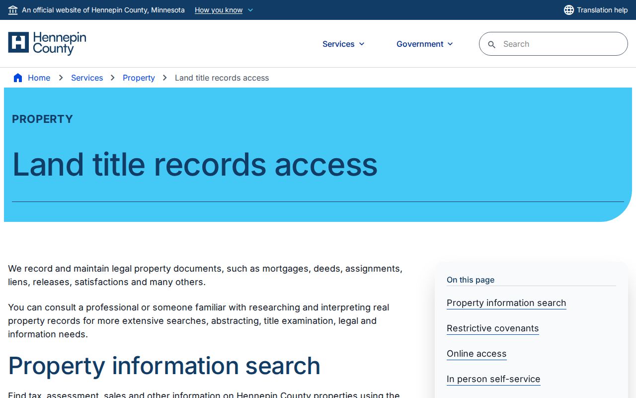
RecordEASE indexes deeds, mortgages, liens, releases and plats. Choose the Abstract or Torrens land type, then use the addition, lot, block or tract-page controls when the street address is not enough. The historic tract pages are documented back to 1850 and plats run from 1850 forward. A free public index is limited. The county lists a user ID and password request route, paid RecordEASE Pro for fuller images, certificates and plats, and an in-person Government Center Research Center with self-service kiosks. Virtual Recorder, mail and counter copy requests are additional channels.
The Hennepin land-title access page identifies the index, research-center and copy-request paths used after a Minnetonka street search produces an instrument lead.
The city layer can add dates and project context. Search the Minnetonka records archive by category, street, house number and date range, then use the city's permit information for current ePermits and ProjectDox channels. Plans, inspections, surveys, council records and microfilm are also part of the archive holdings.
Note: Preserve an instrument number, reception date, legal description and source channel so a recorded street result can be checked later.
Minnetonka Voter Street Limits
The official Minnesota voter-status lookup verifies one individual's registration using name, date of birth and address information. It is not a public Minnetonka street directory. For a geographic or street-sorted walking list, Minnesota uses a separate request process. Under Minnesota Statutes section 201.091, the requester must meet the registered-voter and lawful-purpose requirements, show identification and sign the required certification. The public list cannot be placed online in a searchable form, sold, loaned or used outside the permitted purpose.
The registered voter list request form documents the available geographic products, including a street-sorted walking list, and the delivery and certification terms. Hennepin Elections is the local channel when a historical precinct record or county guidance is needed. Treat any voter-based result as restricted information and do not use it to create or publish a casual street roster.
Search Historic Minnetonka Street Labels
Older street records may use Minnetonka Township, a lake community, a postal city or a commercial-place name instead of the current city label. Minnetonka Mills, Glen Lake, Groveland and Oak Knoll are four historic names worth testing against the legal description and street index. Township territory also changed through annexations from 1946 through 1955. The township became a village in 1956 and officially a city in 1968, so a place label can change even when a family did not move.
For old entries, test the modern address against the plat, historic section layer and the directory's original city label. Postal labels may also say Hopkins or Wayzata in Minnetonka service geography. The legal parcel, not the label alone, is the better anchor for a Minnetonka street directory result.
Set Limits on Minnetonka Street Results
A street search cannot establish every person who lives at an address. A taxpayer mailing address can differ from the property situs. An applicant on a permit can be a contractor, architect or representative. A directory reflects one edition, and historic addresses may use a township or postal label. Protected address information and private voter fields remain outside ordinary street searching. When an old result uses a historic name, compare the parcel description, historic map layer and printed directory year before merging it with a modern street address. When a result matters, compare the parcel card, recorded instrument, dated directory entry or city file that actually supports it.
Lawful use. Use Minnetonka street records for personal, lawful research and civic or family history. Do not use address information to stalk, harass or harm another person.