
Minnetonka Neighbor Block Sources
Minnetonka neighbors are best researched one parcel at a time. The Hennepin map supplies the block geometry and parcel IDs. PINS supplies the county parcel card. RecordEASE adds recorded land events. City permit and archive material can date a project at an address. MNVotes handles one registration confirmation at a time, while a geographic voter list has a formal statutory request process. A historic directory may show a past household, but it is a dated snapshot rather than a current block roster.
| Source | What It Shows About a Block | Access |
|---|---|---|
| Hennepin Property Map | Target parcel, surrounding polygons, current and historic layer context, and PID handoff | Free county map |
| Hennepin PINS | Owner or taxpayer fields, mailing and situs addresses, legal description, classification, assessment, and tax context | Free parcel search |
| RecordEASE | Deed, mortgage, lien, release, and transfer context for each legal description | Limited public index; copies have separate channels |
| MNVotes or voter-list request | One registration confirmation, or a regulated geographic list product | Individual form or lawful-purpose request |
| City archive and permits | Address-keyed plans, permits, inspections, or project timing | Archive, ePermits, or custodian request |
The key distinction is owner versus occupant. A taxpayer name, mailing address, or deed party can document a property relationship. It does not prove that the person lives at the site or identify all of your neighbors, and an address on the other side of the street is not necessarily adjacent if a road, lake edge, common parcel, or strip of land lies between the lots.
Select a Minnetonka Neighbor Parcel
Open the Hennepin County Property Map with the target address or PID. Turn on the current parcel and section layers, then click the target polygon. Record the PID and legal description before looking outward. Current polygons help identify the parcels that share a boundary or sit directly across the street. Historic parcel maps and section sheets can explain a subdivision change or an older lot pattern, but the county does not present the map as a legal survey.
The basic block flow is: target address or PID → target parcel polygon → current parcel layer → neighboring PID list → PINS parcel cards → recorded documents or city address records as needed. Keep a cardinal note such as north, south, east, west, or across street with each PID. Add a note where a road, lake, public land, or common area interrupts the apparent boundary. That makes the record trail repeatable when comparing neighbors without assuming every visible edge is a legal conclusion.
For an older layout, use the county's current and historic property-section maps alongside the live parcel view. A historic sheet may show a former line or subdivision context. It still needs a recorded plat or the county surveyor for a boundary conclusion.
Note: The county map is a strong way to organize parcels around a Minnetonka address, but it should not be used as a survey or a private household list.
Build a Minnetonka Neighbor PID List
After the target is selected, inspect each touching polygon and each parcel across the public right of way. Use the map click and layer tools, not a guessed radius. The research process verified address or PID search, parcel click, layer selection, PID handoff, and polygon comparison; it did not verify a stable named adjacent-parcel or buffer control. Do not claim that the map automatically chooses a set of neighbors.
A useful field inventory has the target PID and situs address first. Then add every adjacent PID, address, direction or across-street note, owner or taxpayer label, mailing address, addition, lot, block, plat, classification, recent deed or permit date, and any public or common parcel. A multi-unit property needs a unit note because a single parcel card can cover more than one delivery address. A missing unit is not a reason to infer an occupant.
- PID
- The county parcel identifier that carries an address into PINS, maps, assessment, tax, and land-title searches.
- Situs address
- The physical address of a parcel, used for map and permit work.
- Mailing address
- The taxpayer correspondence address, which can be different from the parcel and is not proof of occupancy.
- Plat
- A recorded map that describes a subdivision, lots, blocks, and other legal parcel relationships.
Read Minnetonka Neighbor Parcel Cards
Run every PID through Hennepin PINS rather than relying on the label on a map. The address mode uses a house number and street name, with unit optional. PID mode accepts a 13-digit property ID and punctuation variations. Addition search uses the addition name with optional lot and block. PINS updates weekday components daily, so record the lookup date when a recent change matters.
The parcel card can show the owner or taxpayer, separate mailing and situs fields, legal description, classification, value, assessment, taxes, sales, and recent-recording context. Minnetonka's assessing page is a city-level cross-check for address or PIN and valuation or classification context. Neither source is a resident registry. A trust, estate, business, or out-of-area mailing address is a common reason to keep the wording limited to the field actually shown.
Date a Minnetonka Neighbor Parcel
Once a parcel card yields its legal description, use RecordEASE Public Search for the document index. Search the relevant Abstract or Torrens path, addition or plat, lot and block, or tract page when an exact street address does not work. Record an instrument number, reception date, document type, grantor, grantee, legal description, and image or copy path. A mortgage, release, lien, or assignment is not automatically an ownership transfer.
Compare dated land records with address-keyed city activity. Minnetonka permits and its records archive can hold applications, plans, inspections, and project material. Applicants, contractors, and property owners have distinct roles. A permit creates a dated project fact, not evidence that the applicant or contractor lives at the site. If a file is missing, a city records request to the right custodian is the fallback rather than an assumption from a portal gap.
Repeated deed dates across several adjacent PIDs can suggest a subdivision phase worth checking against a plat. They do not prove a family, neighborhood, or common membership relationship. Use the recorded legal description and map layers to test the connection.
Minnetonka Neighbors and Voter Records
The MNVotes status form requires a name, date of birth, and address details to confirm one individual's registration. It does not create a block list. A nonmatch may reflect a recent registration, name formatting, another address, or a protected record. The form is not a way to work around the limits of parcel ownership data.
Minnesota does have a separate registered-voter-list request product. Geographic choices can include city or town, ward or precinct, county, and district, with formats that can include a street-sorted walking list. The requester must be a registered Minnesota voter, provide identification and lawful-purpose certification, and comply with the conditions in Minn. Stat. §201.091. The list is not for searchable internet publication, sale, lending, or a use beyond its permitted purpose.
Note: A formal voter-list product has legal access conditions that remain in force even when the geographic selection resembles a neighborhood block.
Minnetonka Community Contact Layers
No official citywide directory of Minnetonka neighborhood-association members, HOA members, block-club members, or residents was found. That absence matters. Community records may explain an event or a common-area responsibility, but they should not be converted into a claim that a named person belongs to a group. The following are verified network and document leads, not member lists.
| Network or Document | What It Can Show | What It Does Not Show |
|---|---|---|
| Night to Unite | Registered party or location contact for the annual community event | A standing roster of local households or association members |
| Bird Song planning material | Master-association responsibilities for entrance landscaping, retention basins, and parks | Current membership or resident contact data |
| Woodhaven planning material | Common-area responsibilities such as grounds, entry garden, stormwater, and maintenance context | Proof that an owner, occupant, or visitor belongs to an association |
| City community-calendar groups | Public civic-network leads such as parks, watershed, garden, and election information | Personal participation or address information |
Minnetonka Police and the Minnetonka Crime Prevention Association sponsor Night to Unite on the first Tuesday in August. Parties and locations can be registered through the community contact route at 952-939-8543. That provides a voluntary event connection, not a directory. For a specific planning or permit document, begin with the city's records and data-practices channel and request the identified public file.
Choose Official Minnetonka Neighbor Records
Official records describe a source, date, and field label. Commercial compiled-data tools may merge public filings, marketing data, and stale addresses into a convenient-looking result. They can be useful only as a lead to verify, but they may join people with the same name, repeat an old address, or mistake a recorded owner for an occupant. The county and state sources remain the authority for the facts they actually hold.
| Official Parcel and Record Sources | Commercial Compiled Category |
|---|---|
| Names the custodian, search key, result date, and legal or administrative field. | May combine sources with unclear update dates or a broad identity match. |
| Supports a PID, legal-description, court, or custodian follow-up. | Needs confirmation against the underlying county, court, city, or state record. |
| Shows the boundary between owner, taxpayer, filing party, and documented event. | Can flatten those roles into an unsupported personal connection. |
For a full named-street sequence, use the Minnetonka street directory after the immediate block has been organized. Keep a search for neighbors narrow: parcel relation first, record meaning second, and personal claims only when a proper source supports them.
Minnetonka Neighbor Privacy Limits
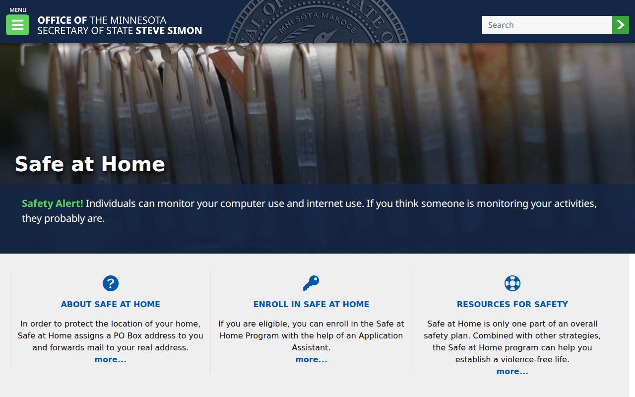
Minnesota Safe at Home provides a substitute mailing address and mail forwarding for participants facing qualifying safety concerns. A substitute address must not be reconciled with legacy property, permit, court, or directory records. Protected voter fields, sealed or juvenile court records, and private data can also be absent from public results. A historical file does not erase those restrictions or justify gathering a person's location.
Source image: Minnesota Safe at Home describes the official address-confidentiality program.
The program is a reason to stop a neighbor search, not a trail to work around. For a specific city police record, the Minnetonka police reports channel and its public-dashboard notices explain the record-request route and system-transition limits.