
Minnetonka Sources for Previous Residents
One address can leave a long but uneven trail. Recorded land documents establish transfer events, while directories and census schedules add household snapshots around those events. City permits, maps, clippings, obituaries and probate files can fill a gap or explain a new structure, altered parcel or estate transfer. Start with the source that fits the question's era, then compare it with a second source before identifying past residents or who lived here before.
| Source | Years it covers | Where held | What it shows |
|---|---|---|---|
| RecordEASE tract index and plats | Tract pages back to 1850; plats 1850 to present | Hennepin Recorder / RecordEASE / research center | Deeds and land instruments by legal description; remote depth varies by access channel. |
| Hennepin property and assessment | Fields vary by parcel | Hennepin PINS, property portal and counter | Current owner or taxpayer, taxes, assessment, sales and some historic fields, not a complete occupancy record. |
| Lake Minnetonka directories | 1940 to 1977 browse label; 1941 to 1977 search label | Hennepin Library digital browse and Special Collections | Address and name snapshots; check the individual volume because the first-year labels differ. |
| Suburban Area directories | 1956 to 1988 print run | Hennepin Library Special Collections | Suburban household and address listings; city coverage varies and not every volume is digitized. |
| Minnesota state census | 1865, 1875, 1885, 1895 and 1905 | Minnesota Historical Society request or library route | A household snapshot whose locality and fields depend on the record image or index. |
| Federal census | Released under the federal 72-year rule | NARA, MNHS and library databases | A dated household snapshot, not an annual address record. |
| City permits and plans | Past archive and current systems; earliest address depth varies | Minnetonka archive / Community Development | Dated construction, alteration, inspection or plan evidence; an applicant may not be an occupant. |
| Clippings and newspapers | Hennepin clippings roughly 1920s to 1980s; Star Tribune Archive 1867 to present | Hennepin Library Special Collections and in-library archive | House stories, moves, obituaries and local notices, with selective coverage. |
For a recent transfer, start with the parcel and deed. For an address during the directory era, pair the closest directory before and after the transfer. For an older household, add the available census, tract page, historic map or county archival record. The dates identify a research window, not an assurance that every person at the address appears in the surviving source.
Start a Minnetonka Previous-Resident Trail
Begin with a current result from Hennepin PINS or the county property gateway. Copy the PID, legal description, situs address, owner or taxpayer name, taxpayer mailing address, sales fields and recent-recording links exactly as shown. The current taxpayer mailing address may point to an estate, trust, business or out-of-area contact, so it should not be treated as the physical location of a person. The situs is the physical parcel address. The PID and legal description are the durable keys that survive more reliably than an old street label.
The Minnetonka assessing lookup provides a city address or PIN cross-check with valuation and classification context. It does not replace the county land-title path. Carry the same description to the property map when a parcel has been split, combined or described through a subdivision.
Note: A taxpayer mailing field belongs to the parcel record, but it does not establish a person's physical address.
Trace Minnetonka Past Residents by Deed
A deed chain records land transfers, not a complete list of everyone at an address. It is still the best backward structure for Minnetonka past residents because the current purchase instrument identifies the seller. Search that seller as an earlier grantee, using the legal description and name variants, then repeat deed by deed. RecordEASE also separates mortgage, assignment, release, lien, satisfaction and probate events from actual transfers. A mortgage is not an ownership change, and a release is not a sale.
- Pull the current parcel result and preserve the PID, legal description, owner or taxpayer label and recent recordings.
- In RecordEASE Public Search, select Abstract or Torrens and search the addition or plat, lot, block or tract page that matches the legal description.
- Record the current deed's grantor, grantee, instrument type and number, reception date and time, property description, title or certificate number when shown, and image or book-page reference.
- Use the current seller, the grantor, as a grantee in an earlier period. Keep the same legal description in view so a similarly named party is not attached to another parcel.
- Repeat the prior deed search. When the description changes, use the plat, survey or recorder staff to account for a split, combination or subdivision change.
- If a party is a trust or estate, consult the related probate or court material for the successor. Use the underlying image or a copy only after confirming that its legal description belongs to the parcel.
- Grantor
- The party transferring an interest in a recorded instrument, commonly the seller in a purchase deed.
- Grantee
- The party receiving that interest, commonly the buyer. Searching a seller as an earlier grantee moves the chain backward.
- Chain of title
- The dated sequence of recorded transfers and related land events for the same legal parcel.
- Legal description
- The recorded land description, such as an addition, lot and block or tract wording. It is safer than a historic street address when labels change.
Minnetonka Previous Residents, 1850 Backstop
Hennepin Recorder guidance documents tract-index pages converted back to 1850 and plats from 1850 forward. The free public RecordEASE index has limited depth. Fuller document images, certificates and plat material use paid RecordEASE Pro or the county's copy routes. The county also offers an in-person Government Center Research Center with self-service kiosks, Virtual Recorder certified-copy ordering, mail and counter requests. These alternatives matter when a historic result is not visible in the remote index or a document image is needed to confirm a name and legal description.
The Hennepin land-title records access information explains the index, research-center and document-copy channels for a Minnetonka deed lead.
Do not claim that a chain starts in 1850 merely because the tract pages are available that far back. A particular parcel may have a different history, changed legal description or earlier jurisdictional label. Preserve whether an image was inspected, and distinguish an index entry from the document itself.
Note: Mark each item as an index result or an inspected document image before relying on its party names.
Pair Minnetonka Past Residents With Census
Deeds identify recorded parties, but directories and census records address the household layer. The Lake Minnetonka collection supports address and name research, including reverse or criss-cross methods. Its digital browse label says 1940 to 1977, while library search help labels searchable material 1941 to 1977, so verify the specific volume before stating a first year. The Suburban Area print run spans 1956 to 1988, but its individual city coverage varies. Compare the collection holdings through Minnetonka city directories.
- Choose the closest directory edition before and after a deed date, then record the volume, page or item identifier, exact name and printed address.
- Search the street and number through the address or reverse method, then test the resulting name in the alphabetical section or a nearby edition.
- Pair the directory with the nearest released federal census or one of Minnesota's state-census years.
- Compare names, ages, relationships and locality, while allowing for a rural route, township name or historic postal label.
- Use newspaper clippings, permits or an obituary as a separate confirmation of a move, family link or address change.
Hennepin County Library's Researching Homes guide specifically connects city directories with reverse address research, newspaper clippings, permits, property resources and maps.
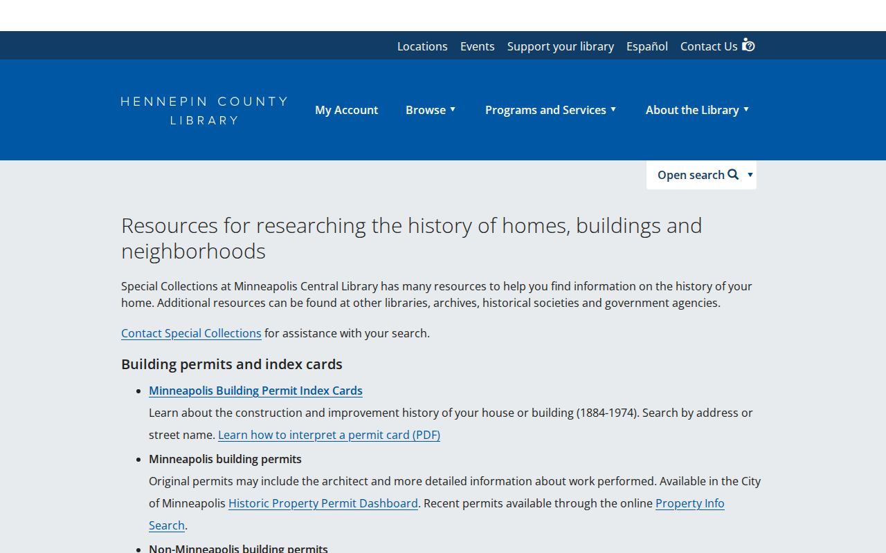
Ask Special Collections for address indexing, clipping files, microfilm and the appropriate directory volume when a digital result is incomplete. A directory appearance is evidence that a person was listed there for that edition, not proof of an exact arrival or departure date.
Note: Record each directory year and census locality because Minnetonka labels can change without a household moving.
Date a Minnetonka Previous-Resident House
Permits, plans, inspections and surveys can establish a building or project chronology that helps place previous residents in time. Search the Minnetonka records archive by category, street, house number, date range and document type. Current work follows the city's ePermits and ProjectDox channels, while past material can require the archive or a records request. A permit applicant may be an owner, contractor, architect or representative, so compare it with the deed and a dated directory listing.
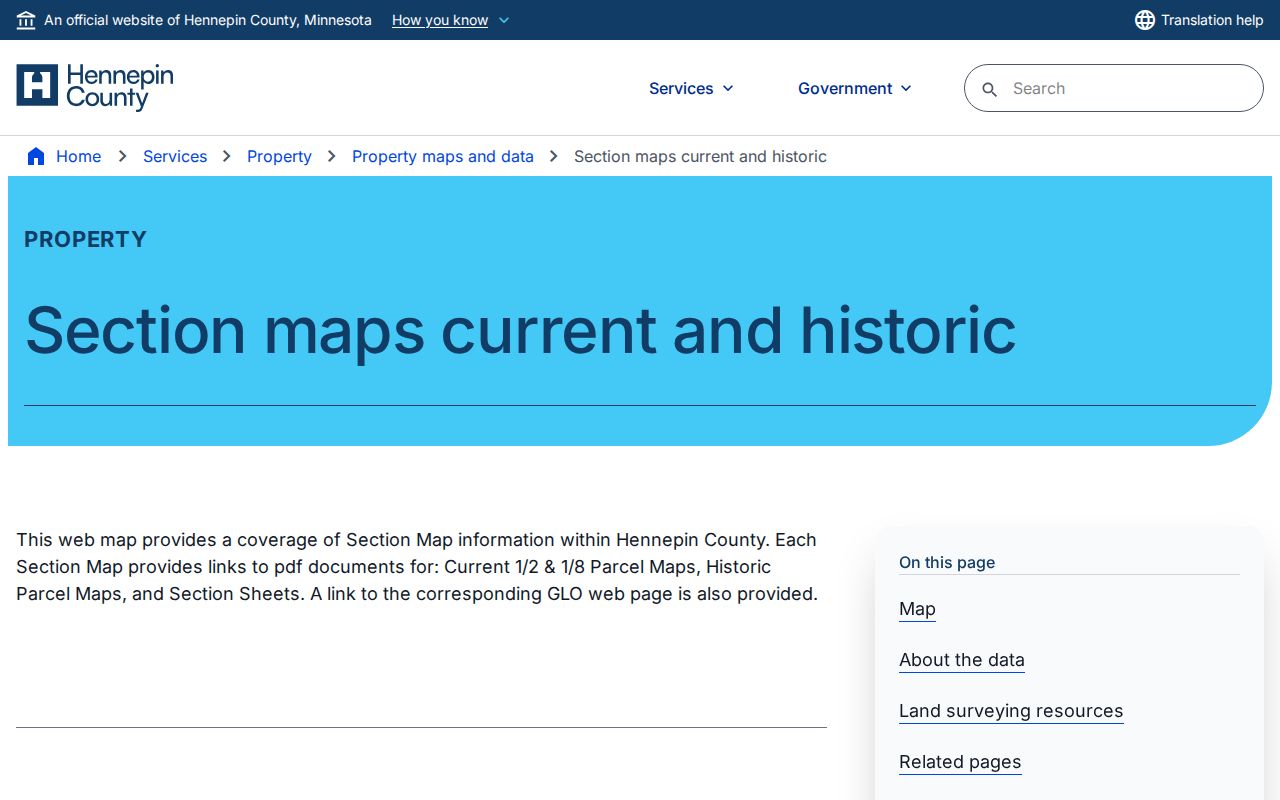
Historic parcel sheets can explain a subdivision line or former legal description. The Hennepin current and historic section-map resource is a useful bridge between a modern PID and earlier map context.
The Library of Congress Sanborn Hennepin volume covers 1912 through July 1951 and includes Minnetonka Mills and nearby communities in its key. It is a regional volume, not a standalone city-proper Minnetonka volume, so identify the exact sheet and community before using it as evidence.
Bridge Minnetonka Past-Resident Labels
Minnetonka's changing name and boundary history can make a past-resident search appear to fail. Older deeds and directories may use Minnetonka Township, Minnetonka Mills, Glen Lake, Groveland or Oak Knoll instead of the modern city. Between 1946 and 1955, Deephaven, Wayzata, Hopkins and St. Louis Park annexed developing areas from the township. The township incorporated as a village in 1956 and became a city in 1968.
The August 22, 1956 village election passed 2,309 to 1,275, creating one village rather than two proposed villages. That event stabilized boundaries against further annexation, but it did not rewrite the labels used in earlier records. Test historic place names, postal cities and neighboring collections against the legal parcel. A postal city is not municipal proof.
Verify Minnetonka Previous Residents Carefully
Obituaries, probate files and court material can close a family-history trail after a person leaves an address or dies. An obituary may name survivors, a funeral home or a former address. A probate file can identify heirs, representatives, notices or property descriptions. Hennepin probate and estate files use the district-court channels and can contain protected or sealed material. A death record confirms death facts, but it does not itself establish who owned or lived at a parcel.
For a pre-directory household, Minnesota Historical Society records add useful dates and relationships. The state census years are 1865, 1875, 1885, 1895 and 1905. Hennepin naturalization has an 1853 to 1942 finding aid, and Hennepin civil files run from 1858 to about 1934 in an off-site MNHS collection. Requests may take time, so keep the original surname spelling and legal description ready for the fallback channel.
Limit Minnetonka Past-Resident Claims
Previous-resident research is best used for family history, personal house history and local-history questions. The strongest result pairs a legal parcel with a dated recorded document and a separate household source. Do not turn a taxpayer mailing field, permit applicant, obituary clue or directory line into a claim about a living person's current location. Protected records and private fields have their own access rules, and some historic address records have not been digitized.
Lawful use. Use Minnetonka previous-resident research for personal and historical purposes. Do not use what you find to stalk, harass or harm any person.